
SE Maps General Information
Introduction
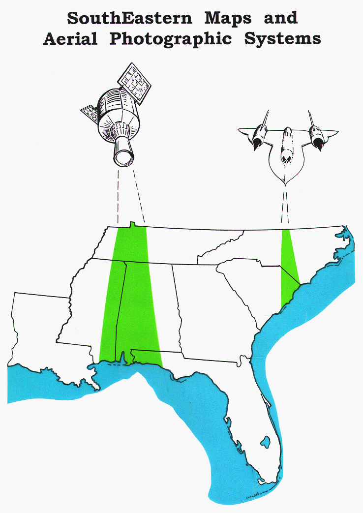
SE MAPS [SouthEastern Maps and Aerial Photographic Systems] is a standards-based, thematic, interdisciplinary middle school curriculum program designed for Southeastern students to heighten their appreciation for the diversity and significance of local and regional landscapes. Hands-on classroom activities keyed to a variety of cartographic products have been carefully chosen to assist students in making connections between the Southeast’s geological framework, natural resources, land use and environmental concerns. These studies enable students to investigate how the diverse landscape has influenced the Southeast’s history and culture. The SE MAPS Teaching Manual contains background information about each study site in addition to a variety of inquiry based activities. The SE MAPS Portfolio consists of 48 large-format laminated sheets featuring aerial photographs, satellite imagery, historical sketches and topographic maps. The cartographic products were selected to provide different spatial perspectives, in a variety of map scales, while highlighting unique geological features and important historical locations associated with each site.
Background
The SE MAPS program was modeled after the highly successful SC MAPS program developed for South Carolina by the South Carolina State Department of Education in collaboration with Clemson University and the South Carolina Department of Natural Resources. Major funding for the SE MAPS project was provided by the National Science Foundation. Middle Schools in South Carolina, Tennessee, Florida, and Louisiana pilot-tested several of the activities that were keyed to the cartographic products designated for their local study sites.
Rationale
By focusing on Southeastern study sites, SE MAPS provides an excellent medium for students to learn about their local and regional environment. As middle school students gain a better appreciation for the region’s geological framework and its impact on our diverse landform regions and river patterns, they are also better able to make connections to our region’s historical development, cultural trends and emerging environmental issues.
Thematic Approach and Team Teaching
Infrared aerial photographs, satellite images and digital elevation maps are matched with United States Geological Survey Topographic Maps and other special purpose maps. The study areas are organized by major landform regions, which have been chosen to highlight the characteristic geomorphologies of the Southeast. These cartographic materials, printed in large format, provide a unique way for students enrolled in science, social studies, language arts, mathematics, and geography classes to interrelate strands of their core middle school disciplines. Cartographic products are also available as downloadable files on the SE MAPS web page.