 |
||||
| Geology K-12 Outreach | Curriculum | SE Maps |
Southeastern Regional Maps
Below are screen sized and high resolution maps of the Southeastern United States. Click on a link or map thumbnail to retrieve the map of your choice. Use your browser's "back" button to return to this page. WARNING: the Hi Res files are large, and may require more time to download than you anticipate.
To save these maps to your computer, right-click the downloaded image, and choose the "save image as" option from the pop-up menu.
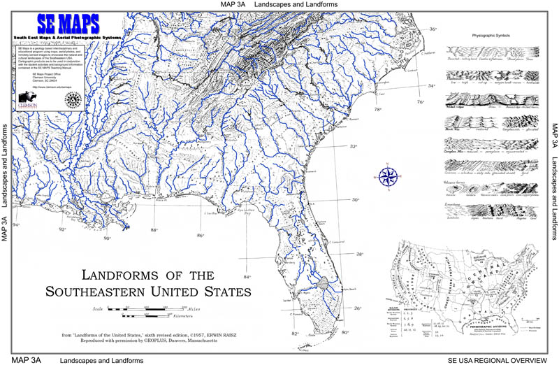
| Physiographic map (major landforms) | |||
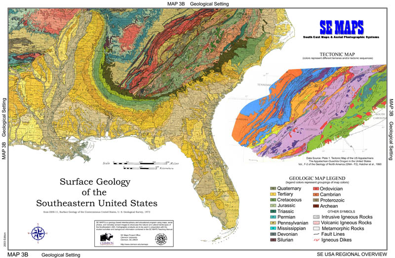
| Geologic map | |||
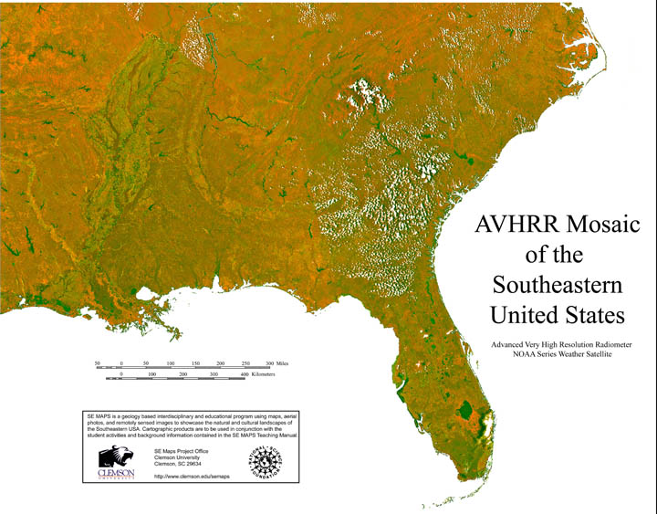
| AVHRR image with lineaments |
|||
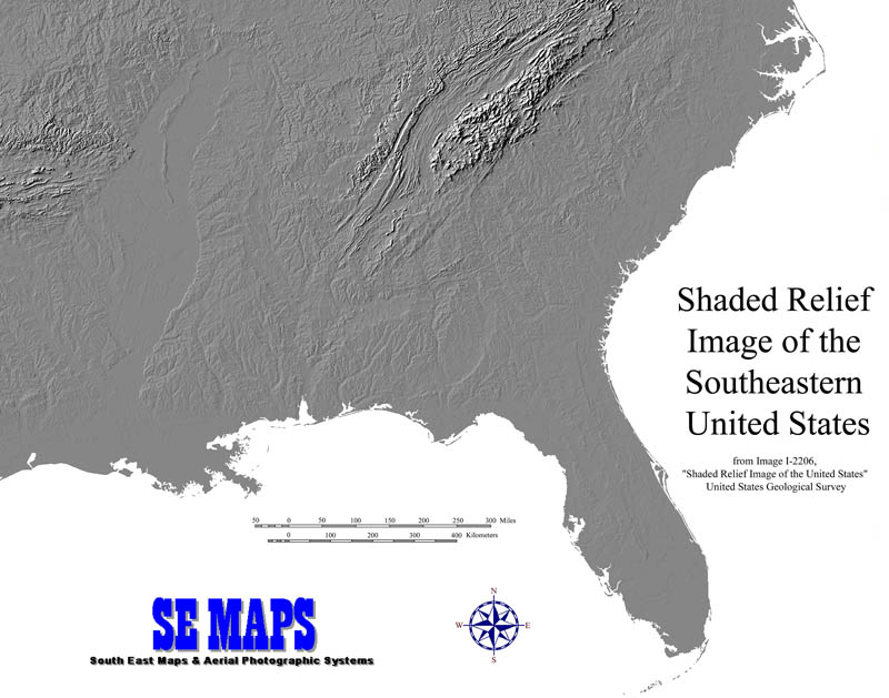
| Shaded relief map | |||
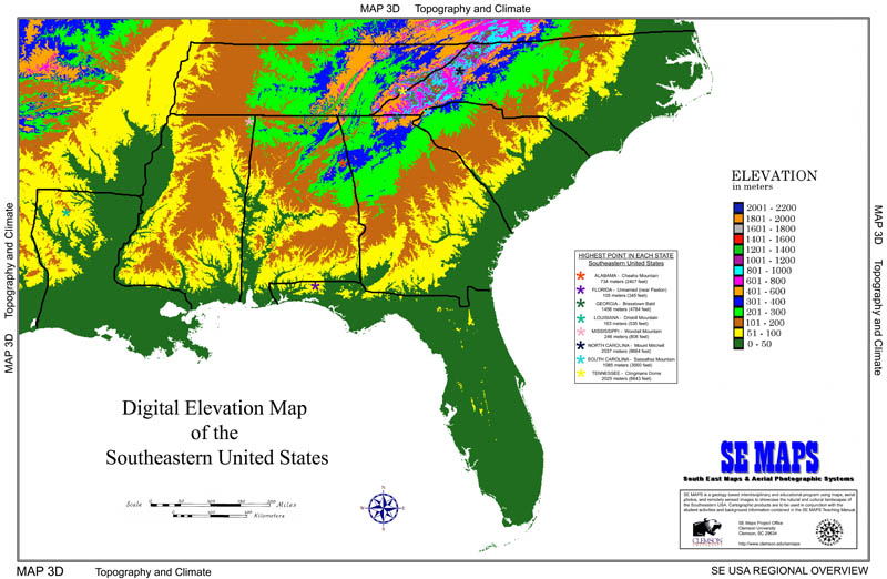
| Digital elevation map | |||
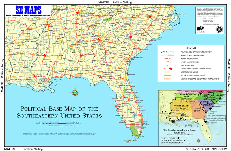
| Political base map | |||
| Cultural map |

