10A - Central Peninsula
Click on maps below to view larger individual images
 |
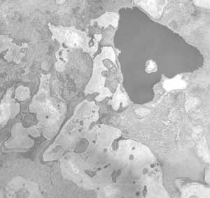 |
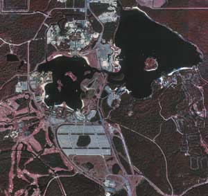
| Walt Disney World and The Magic Kingdom (Aerial Photograph) |
Central Florida Before Construction of Disney World (Aerial Photograph) |
Rationale:
The central portion of the Florida Peninsula between Tampa Bay and Cape Canaveral displays many of the same landscape features that define the entire state of Florida. The Gulf of Mexico and Atlantic Ocean coastlines share many landforms in common, but the very different bathymetry of the two sea floors makes a huge difference in how waves, tides, and hurricanes affect the beaches and other shoreline environments. The area around Tampa Bay has been converted into a deep-water port, which is now one of the busiest in the southeast. Cape Canaveral was the location chosen for the Kennedy Space Center, and the Orlando area is home to Disney World and many other theme parks that make this the tourism center of the state.
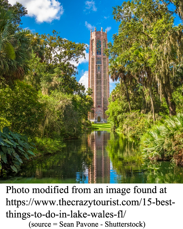
The geologic history of Florida featured many changes in sea level. Higher sea levels left relict beaches, oriented parallel to the shoreline, all across the state. One major paleo-shoreline forms the eastern boundary of the Central Highlands region, marked by the Lake Wales Ridge with its many lakes and abundant Karst activity. Phosphate deposits, along with assemblages of fossilized bones and teeth, are abundant south of Lakeland.
Themes
|
Content Outline
|
Activity TitlesAll activities include
|
|


