10B - South Florida
Click on maps below to view larger individual images
 |
 |
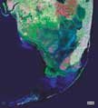
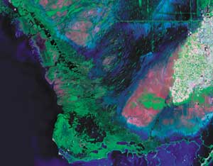
| South Florida, including the Everglades and Miami (Satellite Photograph) |
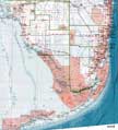
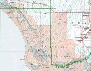
South Florida, including the Everglades and Miami (Topographic Map) |
Rationale:
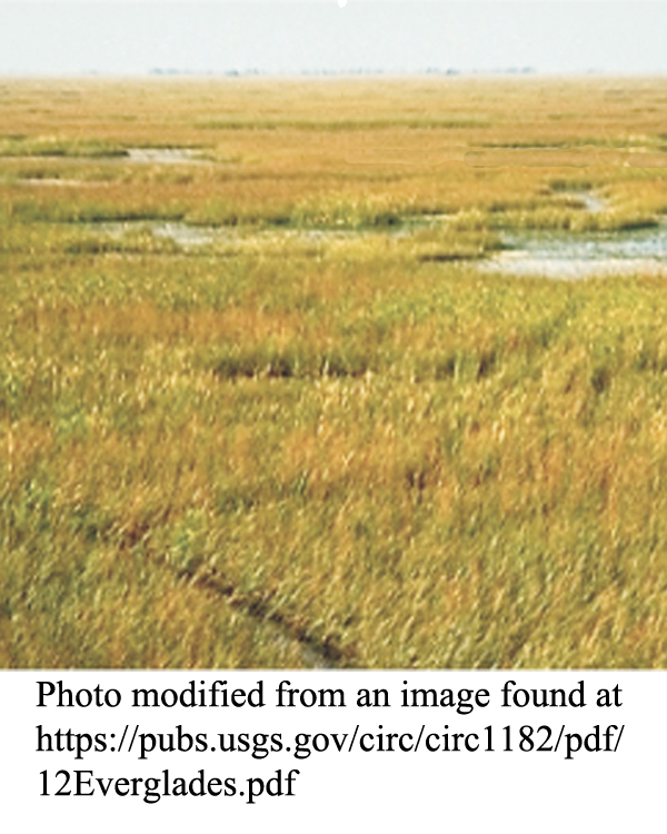
The landscapes of South Florida are very different from the rest of the Southeastern United States. Most of the region lies at or near sea level with the Everglades covering the majority of the land. This so-called River of Grass extends from Lake Okeechobee to the southern tip of Florida and is home to an amazingly diverse mix of plants and animals. The only living coral reefs in the mainland U.S. occur along the Florida Keys where conditions are just right for their growth and the water is warm enough year round to insure their survival. Periodic hurricanes affect the region as well.
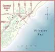
Water has been the dominant force affecting population growth in South Florida. Early settlements like Coconut Grove and Miami were originally located along the limestone exposures of the Miami Ridge, but soon spread rapidly into the Everglades, requiring the construction of hundreds of canals to drain the wetlands. A highway and railroad route across the Florida Keys brought fame and fortune to Key West. Despite the abundance of fresh water in the area, saltwater incursion into wells has become a major environmental problem.Themes
|
Content Outline
|
Activity TitlesAll activities include
|
|


