8B - Woodville Karst Plain
Click on maps below to view larger individual images
 |
 |
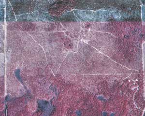
| Leon Sinks Aerial Photograph |
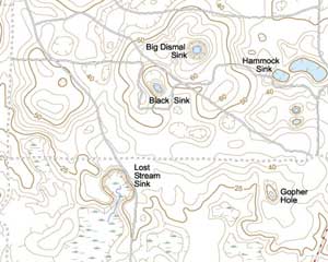
Leon Sinks Topographic Map |
(NAPP Mosaic) |
(NAPP) |
(NAPP) |
(NAPP) |

|

|

|
|
(Topo Map) |
(Topo Map) |
(Topo Map) |
(NAPP) |

|

|

|
Rationale:
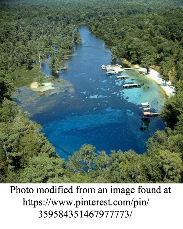
The Woodville Karst Plain is a flat to gently undulating surface covered with deposits of clean quartz sand that thinly mantle the underlying limestone formations. The site focuses on the unique landscape features and groundwater networks formed by the Suwannee Limestone and the St. Marks Formation. Both formations are important Coastal Plain units that constitute a significant part of the Floridian aquifer system, one of the largest fresh-water aquifer systems in the southeastern United States. The karst plain contains many old, well developed cave systems and sinkholes that are either permanently or intermittently flooded, but also exhibits features that are still evolving and creating new surprises for residents. Major cave systems form underground labyrinths that eventually transfer fresh groundwater to a system of springs that empty into the Gulf of Mexico.
The City of Tallahassee and the surrounding area contain a significant number of historical and archeological sites that chronicle the long cultural history of the region. Outside of Tallahassee, the area hosts an agrarian and tourism-based economy and also lies on a major migratory bird flyway. Coastal marshes provide a resting place and food for the birds.
Themes
|
Content Outline
|
Activity TitlesAll activities include
|

|

