9E - New Orleans to the Gulf
Click on maps below to view larger individual images
 |
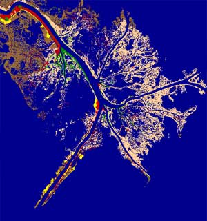 |
| Mississippi Delta, Satellite Photograph |
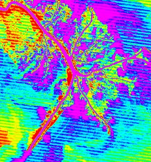
Mississippi Delta, Thermal Water Signature |
(CIR Photo) |
||
|

|

|
(Historic) |
(Topo Map) |
|
|

|

|
Rationale:
New Orleans is a major commercial port city, one of the largest in the country. Its mixed heritage has blended to provide it with a unique cuisine, architecture, music, and rich history, making it one of the most popular tourist destinations in the South. Few cities are as intimately controlled by their geology and geography as New Orleans.
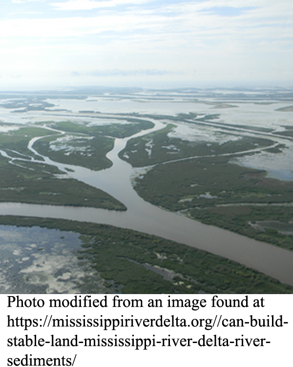
New Orleans is unique in that it is built on the delta plain of a great river, the Mississippi. Because of its geologic setting, the city and its surroundings have been continually subsiding as its soil, made up of fine sediment and decaying organic material, compacts. As a result, many parts of the city lie below sea level, requiring special pumping systems and building techniques to keep the water out of neighborhoods and buildings
The land south of New Orleans is economically very important. The delta plains form extensive wetlands that serve as nurseries for many commercial fish but are also a prime target for oil and gas exploration. These two activities can interfere with one another, creating problems that require hard compromises based on an understanding of natural systems.
Themes
|
Content Outline
|
Activity TitlesAll activities include
|
|

