9A - Outer Banks
Click on maps below to view larger individual images
 |
 |
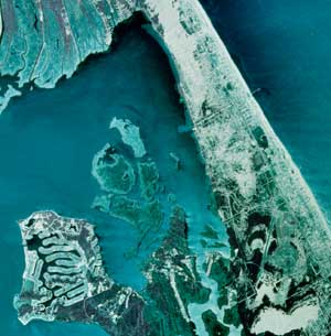
| Outer Banks, Aerial Photo |
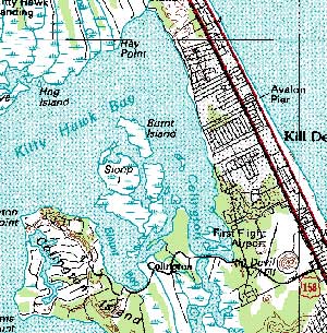
Outer Banks, Topographic Map |

|

|

|

|

|

|
Rationale:
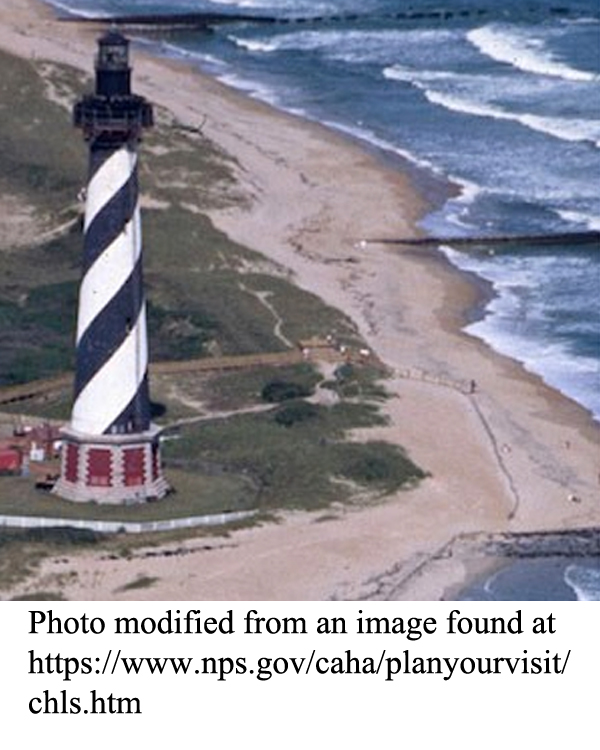
The Outer Banks is comprised of a series of barrier islands, inlets, and sounds that line the North Carolina coastline for over 200 miles (320 kilometers). The exact number of islands and inlets changes over time as hurricanes and other storms move and redistribute vast amounts of sand along the shoreline, often requiring the relocation of lighthouses and other structures. This dynamic interaction of marine and terrestrial processes provides a textbook example of the geology along a submergent shoreline.
Shifting sands can create unpredictable navigational hazards and as a result this region has been the site of many shipwrecks. Pirates also took advantage of the many inlets and coves to evade capture. Several National Seashore Parks have been established in the area to preserve the natural environment in the face of hordes of tourists that arrive year-round. Several famous historical sites are located in this area, including Roanoke Island, site of Raleigh’s ‘lost colony’, and the Wright Brothers Monument, honoring the site of the first powered, controlled manned flight.
Themes
|
Content Outline
|
Activity TitlesAll activities include
|

|

