|
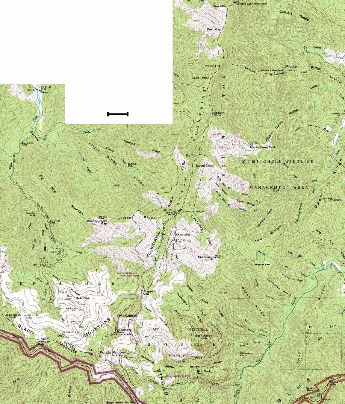
Data Source: Montreat - 1942 (1969), Mt. Mitchell -1946, Celo - 1960 (1976), and Old Fort - 1982 USGS 1:24,000 Quadrangles Scale Bar = ~ 0.4 mi or 0.6 km |
16 X 18.8" 285.3 K, 102 sec at 28.8 Kbps Use your browser's |
|
|
|
Data Source: Montreat - 1942 (1969), Mt. Mitchell -1946, Celo - 1960 (1976), and Old Fort - 1982 USGS 1:24,000 Quadrangles Scale Bar = ~ 0.4 mi or 0.6 km |
16 X 18.8" 285.3 K, 102 sec at 28.8 Kbps Use your browser's |
|
|