

|
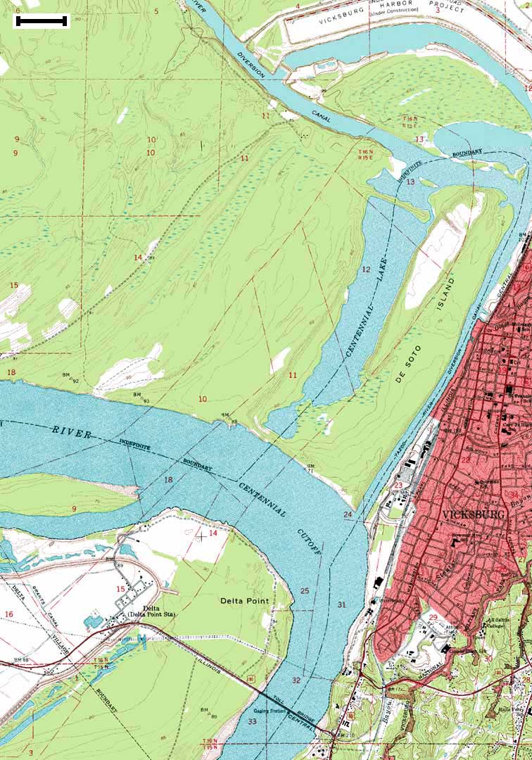
Data Source: Long Lake and Vicksburg West USGS 1:24,000 Quadrangles - 1962 Scale Bar = ~0.38 mi or 0.61 km Click for Larger Image
Use your browser's Back button
|
|
|
Data Source: Long Lake and Vicksburg West USGS 1:24,000 Quadrangles - 1962 Scale Bar = ~0.38 mi or 0.61 km Click for Larger Image
Use your browser's Back button
|
|