

|
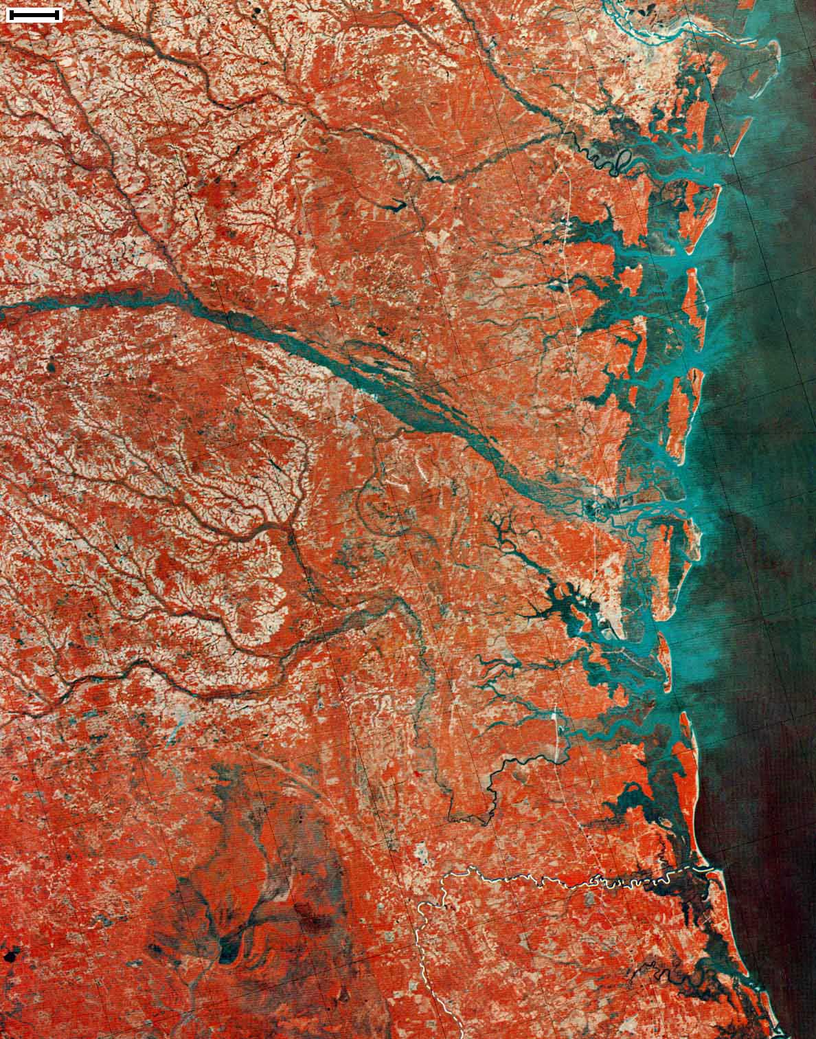
Data Source: USGS and NASA Landsat 1 (ERTS) Satellite Image Mosaic of Georgia - 1973, 1974 Scale Bar = ~5.76 mi or 9.27 km Click for Larger Image
Use your browser's Back button |
|
|
Data Source: USGS and NASA Landsat 1 (ERTS) Satellite Image Mosaic of Georgia - 1973, 1974 Scale Bar = ~5.76 mi or 9.27 km Click for Larger Image
Use your browser's Back button |
|