

|
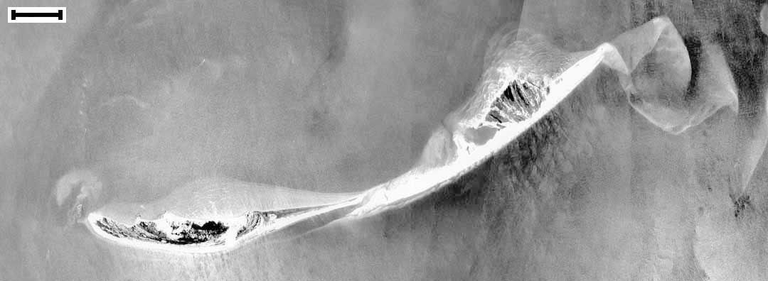
(1952, Pre-Camille) Data Source: Aerial Image, Earth Imaging Center, Stennis Space Center Scale Bar = ~ 0.63 mi or 1.0 km |
15 X 5.5" 34.21 K, 13 sec at 28.8 Kbps Use your browser's |
|
|
(1952, Pre-Camille) Data Source: Aerial Image, Earth Imaging Center, Stennis Space Center Scale Bar = ~ 0.63 mi or 1.0 km |
15 X 5.5" 34.21 K, 13 sec at 28.8 Kbps Use your browser's |
|
|