7D - Columbia
Click on maps below to view larger individual images
|
|
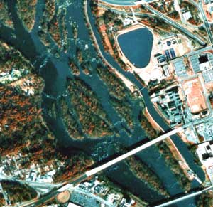
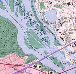
fall line zone on Congaree River |
(Topo Map) |
(Historic) |
(NHAP) |
(NAPP) |
|

|
|

|
Rationale:
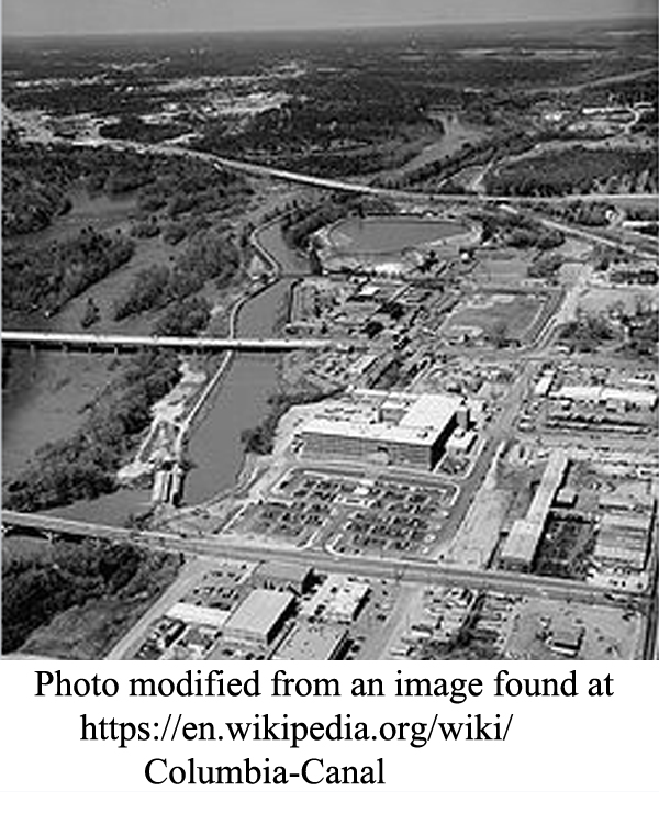
Columbia was named the Capital City of South Carolina because it is in the geographic center of the state and because it was located along the Fall Line Zone where two major Piedmont rivers, the Broad and the Saluda, join to form the Congaree River. Most of the old city actually sits on a higher elevation portion of the Coastal Plain called the Carolina Sand Hills. In the early 1800’s the Columbia Canal was constructed so boats could bypass the rocky shoals safely. After the coming of the railroads, the Canal was modified to serve as a power source for hydroelectric generators and machinery in local cotton mills. The rise of cotton mills in the south not only boosted the local economy, but also gave rise to a new type of community, referred to as the ‘mill village’, and a new class of urban worker whose lifestyle was very different from their former work on the farm. The mill system was particularly hard on children and well publicized abuses led to the passage of some of the nation’s first child-labor laws. Columbia played an important role during the Civil War and was one of the major southern cities invaded by General Sherman during the final year of the war.Themes
|
Content Outline
|
Activity TitlesAll activities include
|
|

