

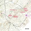
7B - Kings Mountain
Click on maps below to view larger individual images
 |
|
(Aerial Photograph) |
(NAPP) |
(NHAP) |
Military Park (Topo Map) |
(Topo Map) |
|

|
|

|
Rationale:
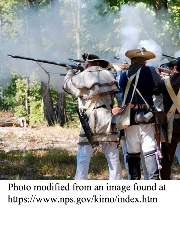
The Kings Mountain Study Site provides an excellent example of how landscapes and landforms can affect historical events. When the British and American armies met at Kings Mountain during the Revolutionary War, the British forces were not used to fighting in this type of terrain, while the American troops took advantage of their knowledge of the topography to gain a quick victory. The landscape has also figured prominently in the development of the trails and monuments that were later constructed within the national park. As the population of the Piedmont region grew larger, the Kings Mountain area became part of a national transportation corridor between Charlotte and Atlanta that included not only highways and railroad lines, but also oil and natural gas pipelines and electrical transmission lines. The Kings Mountain Belt is also known for its distinctive geology and economically valuable mineral deposits. Several surface mining sites illustrate both the benefits and potential environmental hazards associated with resource extraction. Many of the inactive mines have been reclaimed, although some have not, providing a comparative framework for analyzing and discussing a variety of environmental issues.Themes
|
Content Outline
|
Activity TitlesAll activities include
|
|