4A - Cumberland Plateau /
Sequatchie Valley
Click on maps below to view larger individual images

|

|
(Aerial Photograph) |

|

|

|
(Topo Map) |
||

|

|

|
Rationale:
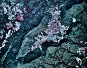
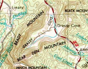
Sequatchie Valley and Grassy Cove are well known landscape features in the Cumberland Plateau of central Tennessee. They differ significantly from typical plateau features because of their abundance of limestone rock and the subsequent development of Karst Topography. Extensive cave systems and an abundance of springs point out the importance of groundwater hydrology in this region. Grassy Cove is an enclosed basin with no surface outlet for runoff. Sequatchie Valley formed as the result of thrust faulting, tectonic uplift, and the un-roofing of resistant sandstones to expose the easily eroded limestone layers below. Both of these features exhibit spectacular scenery and a history of cultural development and land use that is very different from the typical Cumberland Plateau style.
The Raccoon Mountain area straddles the Tennessee River gorge through Walden Ridge and features a pumped-storage hydroelectric generating facility as well as topographic features more typical of the plateau. The reservoir at the top of Raccoon Mountain boasts the largest rock-fill dam ever built by the Tennessee Valley Authority (TVA) and has become a tourist attraction as well as a source for clean peak-load power.
Themes
|
Content Outline
|
Activity TitlesAll activities include
|

|

