6A - Great Smoky Mountains
Click on maps below to view larger individual images

|

|
(Stereo Triplet) |
(NALC) |
|

|

|

|
(SLAR) |
(NHAP and MSS) |
(Topo Map) |

|

|

|
Rationale:
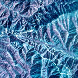
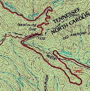
The Great Smoky Mountains are best known for high mountain peaks and the many recreational opportunities available to visitors both inside and outside of the Park. The Smokies have the distinction of being the most visited national park in the country. The area has been named an International Biosphere Reserve and a World Heritage Site because of its unique ecology, diversity of plant and animal species, spectacular scenery, and its widespread inventory of Appalachian cultural items including buildings from the nineteenth and early twentieth centuries. The Eastern Band of the Cherokee Nation has built a thriving community on the North Carolina side of the park. The park features many examples of landforms that have been shaped by a variety of geological processes, both on the land surface and operating deep underground. One such feature is the structural window called Cades Cove. Other surface processes have caused landslides and debris flows on the steeper mountain slopes and flooding in the narrow stream valleys. Other environmental problems have affected this region, both inside and outside of the park, including uncontrolled logging operations, wildfires, soil erosion, and air pollution caused by nearby copper smelting operations.Themes:
|
Content Outline
|
Activity TitlesAll activities include
|

|

