SC Maps General Information
Introduction
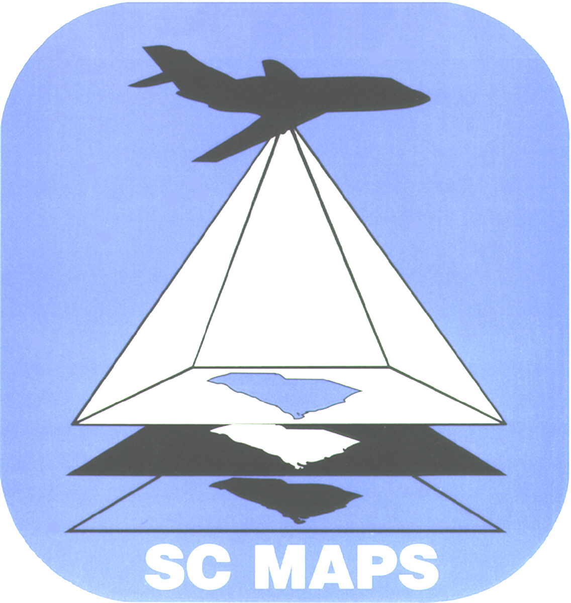
SC MAPS (South Carolina Maps and Aerial Photographic Systems) is a standards based thematic curriculum package, focusing on the geology and geography of South Carolina, that interrelates landforms, historical development, economic trends, cultural diversity, and environmental concerns into an inquiry-based, interdisciplinary package. The 500 page SC MAPS Teaching Manual contains hands-on activities focusing on a variety of local study sites representative of the five major landform regions of South Carolina (Blue Ridge, Piedmont, Sandhills, Coastal Plain, and Coastal Zone), plus teacher background information and an answer key. The SC MAPS Portfolio consists of 21 large-format laminated sheets featuring aerial photographs, satellite imagery, and topographic maps to accompany the student activities. The map products were carefully chosen to provide different spatial perspectives, in a variety of map scales, while featuring unique geological features and important historical sites. Each study site is also identifiable on a corresponding topographic map. Correlation charts linking individual SC MAPS activities to specific state standards are available for science, math, social studies, and language arts.
Background
The SC MAPS program was developed by the South Carolina State Department of Education in collaboration with Clemson University and the South Carolina Department of Natural Resources. Additional materials and cartographic products were incorporated into the program through several grants funded by the South Carolina Commission on Higher Education. Middle school students use classroom sets of these cartographic products, laminated to permit repeated student use with wet-erase markers, to investigate the influence of landform features and geological processes on both the natural and human history of South Carolina. The Teaching Manual contains narrative background information on each site as well as sets of student activities and exercises which are keyed to the various cartographic products and are in line with national and state curriculum standards. The activities can be paired with computer applications such as Google EarthTM to graphically track landscape and land use changes through time.
Rationale
The award-winning SC MAPS curriculum materials have a proven record of success in engaging students with inquiry-based studies of maps, satellite images and aerial photographs from an interdisciplinary perspective. As such, they have proven to be an effective vehicle for helping students and teachers appreciate the connection between science and technology and enable students to master many of the curriculum standards at the middle school level. By focusing on South Carolina sites, SC MAPS provides an excellent medium for students growing up in South Carolina to learn about their home state. As middle school students gain a better appreciation for the state’s geological framework and its impact on our diverse landform regions and river patterns, they are also better able to make connections to our state’s historical development, cultural trends and emerging environmental issues.