6B - Blue Ridge Front
Click on maps below to view larger individual images
 |
 |
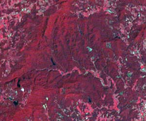
| Blue Ridge Front Aerial Photograph |
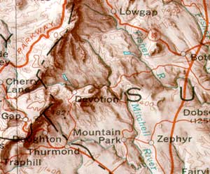
Blue Ridge Front, Topographic Map |

|

|
|

|

|
|
Rationale:
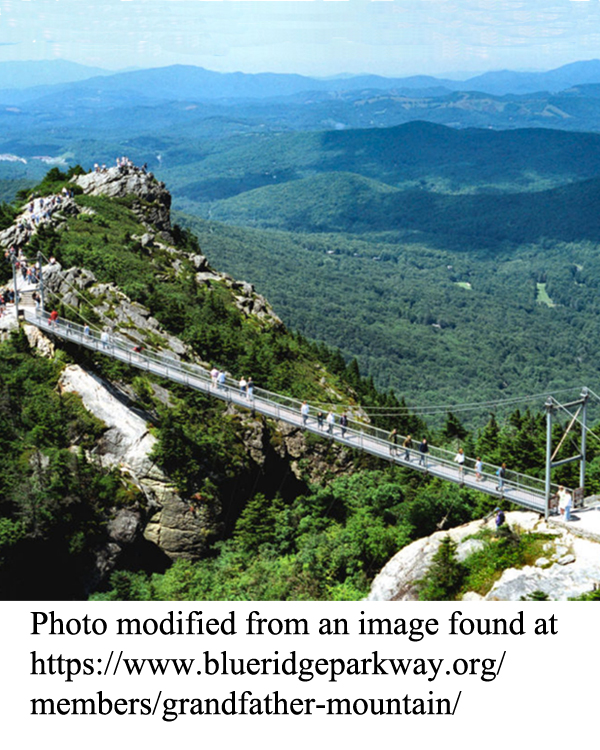
The Blue Ridge Front Study Area includes landscapes of geological, historical, and scenic interest, including the highest mountain in the eastern United States and one of the most ancient rivers in the Appalachian region. Although the tall mountains are the biggest draw for tourists, the area also boasts high waterfalls, deep gorges, mountain coves, and exotic mineral deposits. The high peaks exhibit alpine microclimates that support plants and animals normally found hundreds of miles to the north, and cold-water trout streams are abundant. The Blue Ridge Parkway runs along one of the highest ridges for most ofits length and offers spectacular scenery as well as access to many of the most popular tourist destinations. That highway was constructed by the CCC during the Great Depression, along with many campgrounds, overlooks, and other park facilities. The Spruce Pine Pegmatite District remains an active mining region, and Grandfather Mountain hosts the Scottish Highland Games each year. The Blue Ridge escarpment in portions of the Carolinas presents a dramatic boundary with the Piedmont region and is often referred to as the “Blue Wall."Themes
|
Content Outline
|
Activity TitlesAll activities include
|
|

