9D - Mississippi Gulf Coast
Click on maps below to view larger individual images
 |
 |
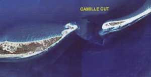
| Aerial Photo of Ship Island |
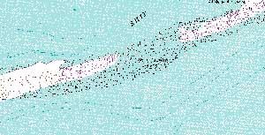
Ship Island, Topographic Map |
Rationale:
The Mississippi Sound and its adjacent bays comprise a highly productive estuarine system that has been called the ‘Fertile Fisheries Crescent.’ The Sound is quite wide but relatively shallow, being separated from the Gulf of Mexico by a series of barrier islands. Three artificial channels have been cut through the Sound to provide deep-water access to several important port cities. The Intracoastal Waterway route also crosses the Sound. The original marshy coastline has been altered by the construction of seawalls and the addition of a series of artificial beaches.
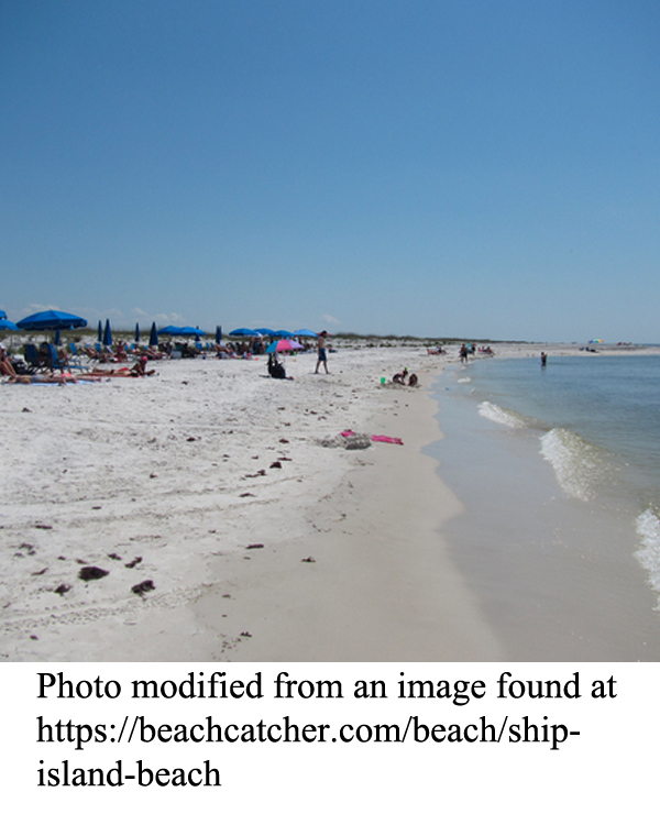
The coastline, especially the barrier islands, has been significantly impacted by hurricanes and other storms. The shapes and dimensions of several islands have been changed significantly over time; some have even been cut in two. Other islands, essentially shallow sand shoals, appear periodically and then disappear as currents change direction. Tourism has always been the economic center of the region, sometimes referred to as the Sun Belt or the American Riviera, and many of the barrier islands have been protected by inclusion in the Gulf Islands National Seashore.
Themes
|
Content Outline
|
Activity TitlesAll activities include
|

|


