 |
||||
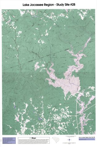
Lake Jocassee, SC (Topo Map) Data Source: USGS & Tennessee Valley Authority Click here or on image at right for preview version. (30% of full image) Click for Full Size Image Copyright laws apply - for full-sized, physical maps, please visit SC MAPS at the South Carolina Geographic Alliance. |

