 |
||||
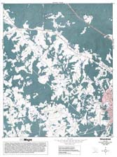
Silverstreet |
|
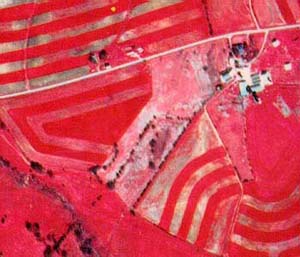
Portion of NHAP infrared photograph (1989). This area is located to the east and south of the map image. |
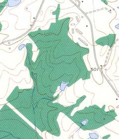
Portion of topographic map from Newberry West USGS quadrangle (1969).. |
Silverstreet (NAPP) |
Silverstreet (Topo) |
RationaleThe Silverstreet Study Site lies just west of the town of Newberry and contains many features representative of a typical farming region in the Piedmont of South Carolina. Patterns of contoured agricultural fields mix with a patchwork of other landforms to provide a striking visual image of the diversity of land use in this region of the state. Timber management practices in forests along the Bush River, control of erosion from farm fields, and the placement of chicken houses by the poultry industry illustrate some of the potential environmental problems faced by Piedmont farmers. Although there is no actual public access site in the immediate area, several farmers are willing for student groups to tour their farms to study soil conservation methods and modern crop rotation practices as well as visit modern, highly mechanized chicken houses. Such tours and visits must be arranged through the County Extension Agent's Office in Newberry County. |
Background InformationDescription of Landforms
Influence of Topography on Historical Events and Cultural Trends
Natural Resources, Land Use, and Environmental Concerns
|


