 |
||||
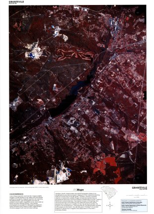
Graniteville, SC (Lithograph)Data Source: NAPP Color Infrared Film - 1989 Click here or on image at right for preview version. Click for Full Size Image Copyright laws apply - for full-sized, physical maps, please visit SC MAPS at the South Carolina Geographic Alliance. |

