 |
||||
Sugarloaf Mountain |
|
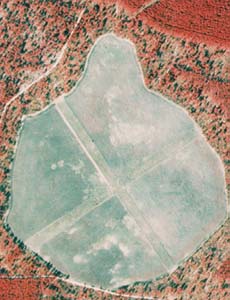
Portion of NAPP infrared photograph of Carolina Sandhills National Wildlife Refuge (1989). |
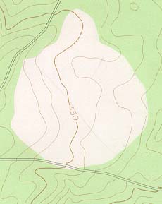
Portion of Middendorf USGS quadrangle (1968). |
Sugarloaf (NAPP) |
Sugarloaf (Topo) |
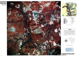
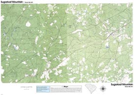
RationaleThe Sugarloaf Mountain Study Site includes portions of both the Carolina Sandhills National Wildlife Refuge and Sandhills State Forest. It depicts the characteristic landforms, soils, rocks, and vegetation typical of most sandhills localities. Xerophytic vegetation, stunted forests, and wide expanses of bare soil are especially evident. The cartographic products also illustrate the effects of a series of habitat management programs, such as placement of firebreaks, periodic timber harvesting, fluctuating water level in ponds, and maintenance of open fields. Such open areas are essential for preserving the natural diversity of the original sandhills habitat and protecting several threatened and endangered species. Sugarloaf Mountain is actually more of a hill than a mountain. This feature is a unique outcropping of iron-cemented sandstone which is more resistant to erosion than the surrounding rocks. A trail leading to the top of the mountain offers a panoramic view of the sandhills forest. |
Background InformationDescription of Landforms
Influence of Topography on Historical Events and Cultural Trends
Natural Resources, Land Use, and Environmental Concerns
|


