 |
||||
Santee Cooper Project |
|
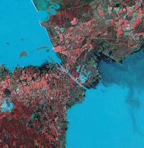
Portion of landsat satellite image of coastal South Carolina (1990). |
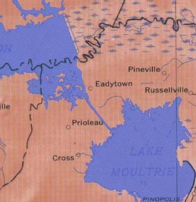
Portion of shaded relief map of South Carolina, USGS (1970). |
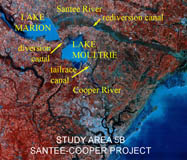
Santee Cooper Project (NAPP) |
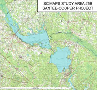
Santee Cooper Project (Topo) |
RationaleThe Santee Cooper Study Site encompasses an unusually large area of South Carolina's Coastal Plain, but this level of coverage is necessary to highlight the importance of the role of engineering in managing the state's water resources and water transportation routes. From the early days of canal building, when the Old Santee Canal was constructed to provide a water connection between the Cooper and Santee rivers, to the modern Diversion and Rediversion canals connected to Lakes Marion and Moultrie, South Carolinians have tried to connect the city of Columbia, at the Fall Line Zone, with the port of Charleston, at the Atlantic Ocean. Today, this effort is more likely to be focused on tourism than on commerce, but the need is still present. The Santee Cooper site provides perspective on both the natural and geologic obstacles to constructing reservoirs and canals and the cultural and historical implications of such large projects. |
Background InformationDescription of Landforms
Influence of Topography on Historical Events and Cultural Trends
Natural Resources, Land Use, and Environmental Concerns
|


