

8A - Louisiana Salt Domes
Click on maps below to view larger individual images
 |
 |
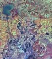
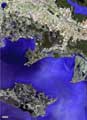
| Avery Island (Salt Dome) Aerial Photograph |
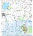
Avery Island (Salt Dome) Topographic Map |
(Photoquad) |
(TM) |
(Topo Map) |
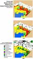
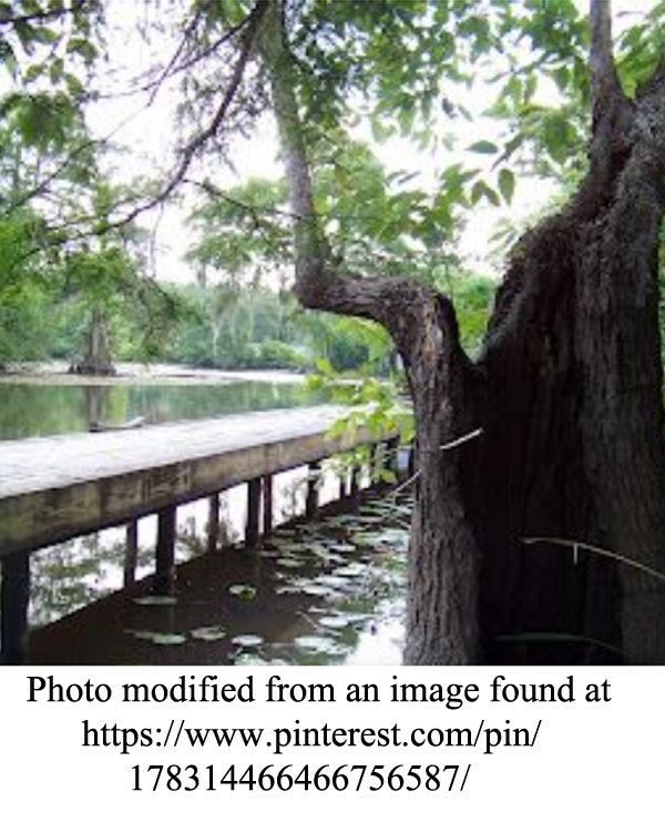
Wetland and Upland Habitats |
|
|
|
|
Rationale:
The salt domes of southeast Louisiana create a unique geography that features an array of topographic features not found in other parts of the Coastal Plain. These pillars of salt actually have risen to form “islands” in the marshland. Coastal Plain habitats associated with the salt dome region are exceptionally important, both aesthetically and economically, to the state. They are in delicate balance with both natural and human-driven processes. The geography has controlled how immigrants to the region developed the land and utilized the environment. The names, languages, and customs of these ethnic groups have intermingled to produce a unique cultural montage. The unique geography of southeast Louisiana has made the state one of the chief producers of rice, sugar cane, fur, fisheries (crawfish, shrimp, catfish, oysters, etc.), and in earlier times, lumber. The salt, sulfur, and hydrocarbon resources occurring in and around the salt domes provide an important source of income for the Louisiana economy.
Themes
|
Content Outline
|
Activity TitlesAll activities include
|
|