

|
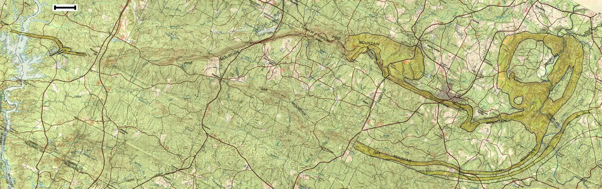
(Topo Map) Data Source: Thomaston - 1981 and Opelika - 1982 USGS 1:100,000 Quadrangles Scale Bar = ~1.58 mi or 2.54 km |
27.2 X 8.6" 239.1 K, 86 sec at 28.8 Kbps Use your browser's Back button to
|
|
|
|
(Topo Map) Data Source: Thomaston - 1981 and Opelika - 1982 USGS 1:100,000 Quadrangles Scale Bar = ~1.58 mi or 2.54 km |
27.2 X 8.6" 239.1 K, 86 sec at 28.8 Kbps Use your browser's Back button to
|
|
|