|
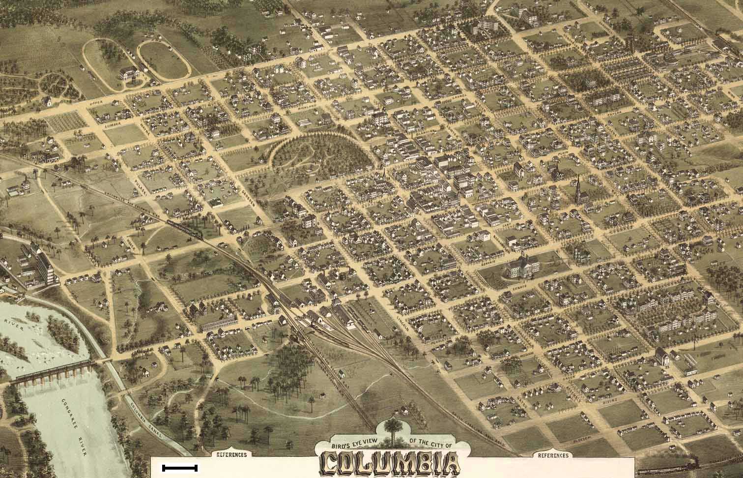
(Historic Map) Data Source: Bird's Eye View of Columbia - 1872 (Drawn and published by C. Drie), Division of Maps, Library of Congress |
21 X 13.5" 234.6 K, 84 sec at 28.8 Kbps Use your browser's |
|
|
|
(Historic Map) Data Source: Bird's Eye View of Columbia - 1872 (Drawn and published by C. Drie), Division of Maps, Library of Congress |
21 X 13.5" 234.6 K, 84 sec at 28.8 Kbps Use your browser's |
|
|