

|
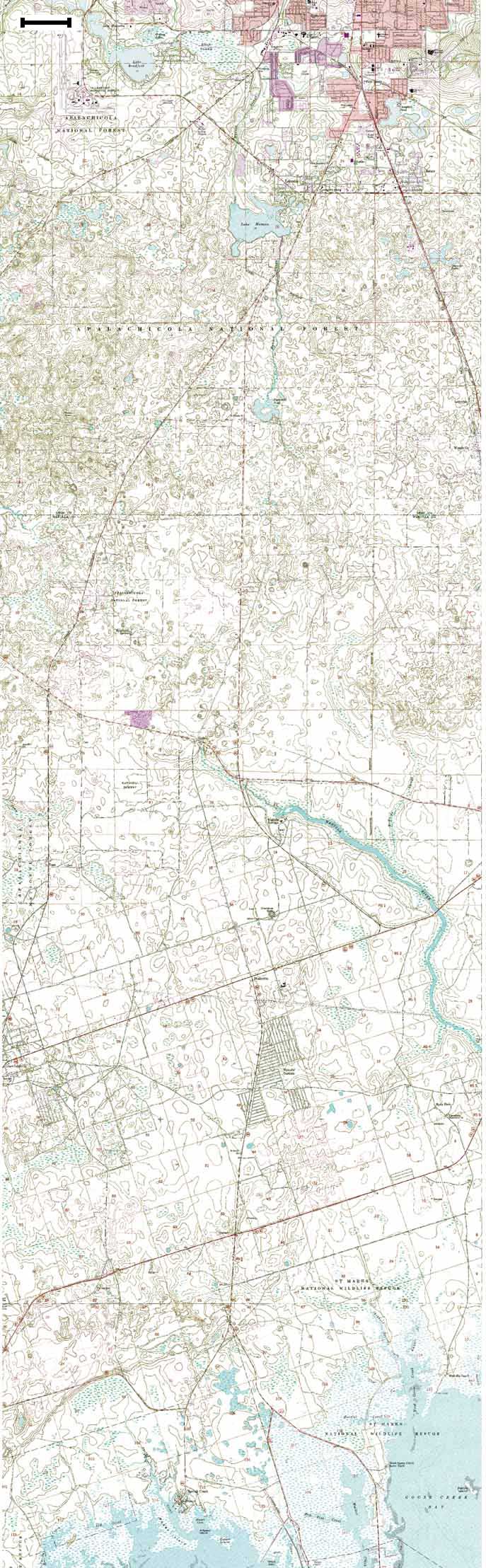
Data Source: Crawfordville East - 1972, Spring Creek - 1972, Tallahassee - 1972, and Lake Munson - 1976 USGS 1:24,000 Quadrangles Scale Bar = ~0.79 mi or 1.27 km Click for Larger Image
Use your browser's Back button |
|
|
Data Source: Crawfordville East - 1972, Spring Creek - 1972, Tallahassee - 1972, and Lake Munson - 1976 USGS 1:24,000 Quadrangles Scale Bar = ~0.79 mi or 1.27 km Click for Larger Image
Use your browser's Back button |
|