

9B - Grand Strand
Click on maps below to view larger individual images
|
|

Rationale:
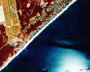
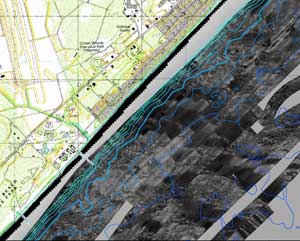
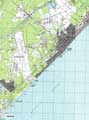
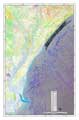
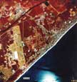
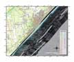
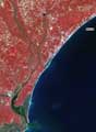
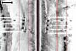
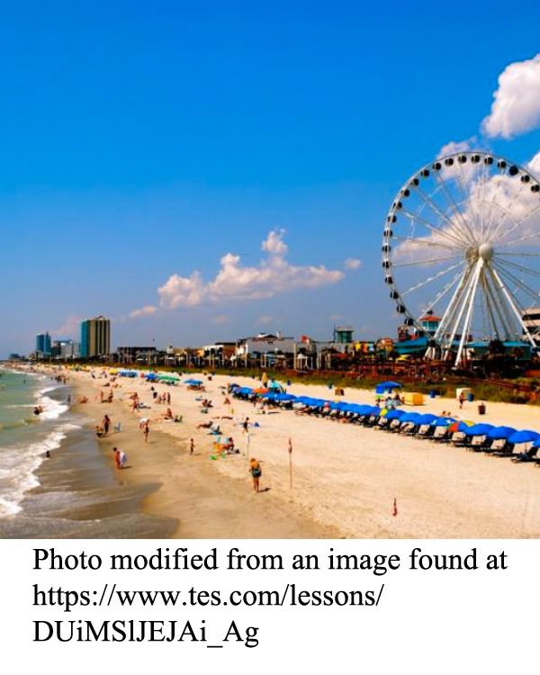
The Grand Strand of South Carolina forms an unusually continuous stretch of the coastline featuring long, wide beaches interrupted by very few inlets, tidal flats, or salt marshes. To the south the wide beach ridge transitions into a more typical barrier island coast that is interrupted only by the Santee Delta. Myrtle Beach and surrounding communities are a popular travel destination for tourists from all over the eastern United States and as far away as Canada. Although beaches have always been attractive to tourists, more and more visitors are looking for additional attractions such as amusement parks, theaters, golf courses, shows, and convention facilities. Offshore fishing provides an important economic resource that is controlled by offshore topography and enhanced by the emplacement of artificial reefs. Technologies such as side-scan sonar offer new ways of viewing the continental shelf. Even though the Grand Strand is located on an ancient beach ridge, the area is still susceptible to sea-level changes and other features of a rapidly changing coastline such as beach erosion.
Themes
|
Content Outline
|
Activity TitlesAll activities include
|
|