

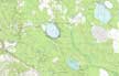
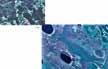
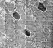
8C - Carolina Bays
Click on maps below to view larger individual images
 |
 |
| Carolina Bays, Aerial Photograph |
Carolina Bays, Topographic Map |
(Topo Map) |
(NHAP) |
(NALC) |
(Photomosaic) |
|
|
|
Rationale:
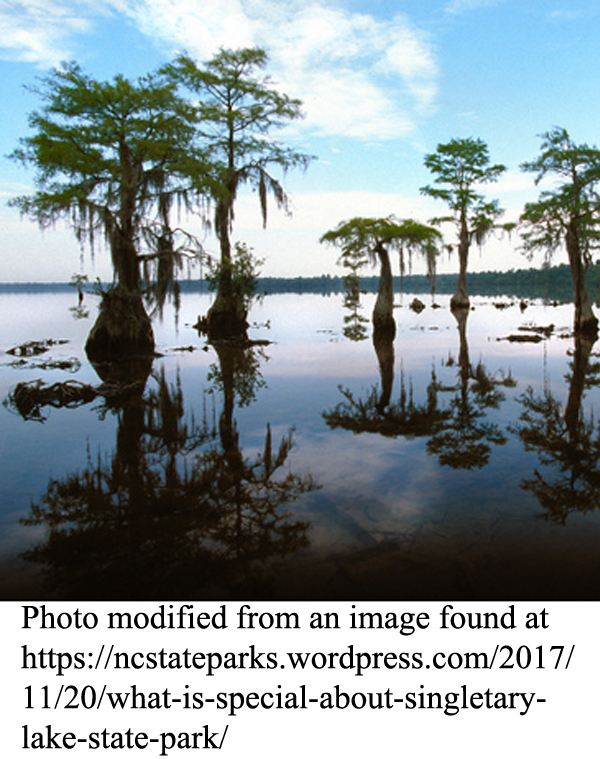
Carolina Bays are interesting geological formations that have intrigued scientists for generations. Many theories have been suggested to explain the formation of the Bays, ranging from the difficult to accept ones - such as the Bays’ being scooped out by giant turtles - to the difficult not to accept ones - such as the Bays’ being formed by the impact of a comet. Another front-running theory suggests that the Bays were formed gradually from pre-existing ponds by the slow action of prevailing winds. However the Bays formed, they are organically rich and normally very wet. They support several rare and endangered plant and animal species and provide major wetland habitat for one of the most diverse biological communities of the Coastal Plain Region. If drained, the rich soils of the Bays can be used for farming. Except along the rim of the Bays, where the soil is sometimes almost totally sand, typical Bay soils are able to support the growth of both row crops and forest products. A few of the Carolina Bays remain in their natural state, and are preserved as parks, but the majority of them have been ditched and drained for agriculture or logging.
Themes
|
Content Outline
|
Activity TitlesAll activities include
|
|